What is TrueSizeOf.org?
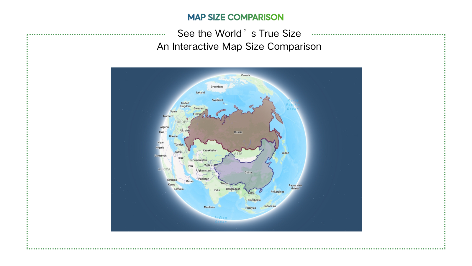
TrueSizeOf.org is a website for comparing the true size of country. Compare the true size of country with our interactive map.
Problem
Users struggle to accurately compare country sizes due to distortions in traditional map projections like Mercator, leading to misconceptions about geographical scale.
Solution
A web-based interactive map tool that lets users overlay and compare country sizes in real-time by adjusting for map projection distortions, e.g., dragging Canada over equatorial regions to see its true relative size.
Customers
Educators, students, and geography enthusiasts seeking visual aids for lessons or personal curiosity about global geography.
Unique Features
Uses distortion-adjusted projection overlays to reveal true country scale, unlike static maps.
User Comments
Reveals how Mercator misrepresents sizes
Perfect for classroom demonstrations
Intuitive drag-and-drop interface
Surprising insights about equatorial vs. polar regions
Free and accessible globally
Traction
Viral traction with 1.5K+ Product Hunt upvotes at launch, featured by educational platforms and geography communities.
Market Size
The global e-learning market, including educational tools like this, is projected to reach $457 billion by 2026 (Statista 2023).