What is SizeOnMap.com?
Free interactive world map to compare countries and territories by their true size. Drag and drop territories to see accurate size comparisons without map projection distortion.
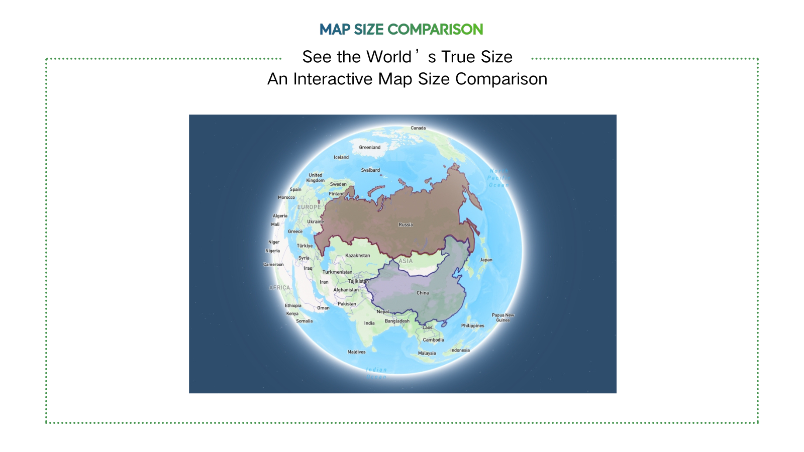
Problem
Users previously relied on traditional maps with distorted projections (e.g., Mercator) to compare country sizes, leading to inaccurate perceptions of territory scale, especially for polar regions.
Solution
An interactive web tool enabling users to drag and drop countries on a map to compare true sizes without projection distortion. Example: Overlaying Greenland on Africa to reveal actual size ratios.
Customers
Educators/teachers, cartographers, travelers, data analysts, and content creators needing accurate geographical visualizations.
Unique Features
Uses equal-area projections for distortion-free comparisons; real-time overlay adjustments; free access with no signup.
User Comments
Revolutionizes geography education
Simple interface for complex comparisons
Corrects common map misconceptions
Useful for data-driven reports
Engaging tool for students
Traction
Launched in August 2023, featured on ProductHunt (200+ upvotes). Traffic: ~10K monthly users, primarily from educational and data analysis sectors.
Market Size
The global e-learning market, including educational tools like SizeOnMap, is valued at $250 billion (2023), with geography education tech growing at 15% CAGR.