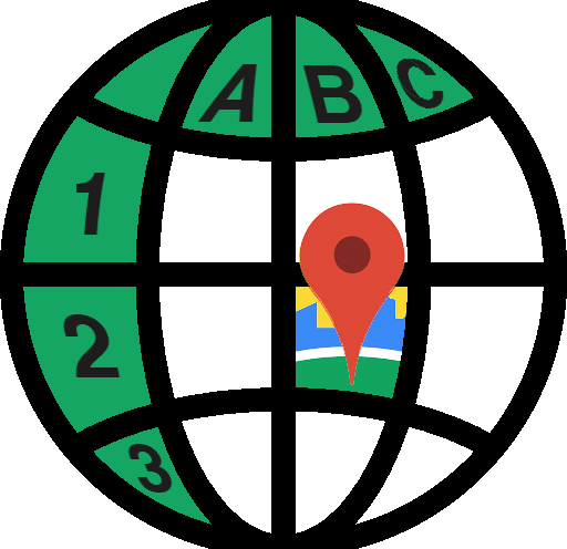
What is Maps for Excel?
Bring mapping capabilities and geocoding to Microsoft Excel: insert heatmap, administrative boundaries, shapes, place photos and street views, download GeoJSON and KML, get address components, find places with details, build routes, show isolines.
Problem
Users face challenges in integrating mapping capabilities, geocoding, and visual elements in Microsoft Excel, limiting data visualization and analysis.
Lack of features like heatmaps, administrative boundaries, place photos, street views, GeoJSON, KML, address components, place details, routes, and isolines in Excel.
Solution
An Excel add-in providing mapping capabilities, geocoding features, and integration with visual elements for improved data analysis and visualization.
Users can easily insert heatmaps, administrative boundaries, shapes, place photos, street views, download GeoJSON and KML files, access address components, explore place details, create routes, and display isolines directly within Excel.
Customers
Data analysts, researchers, GIS professionals, and businesses needing efficient geocoding, mapping, and data visualization directly within Microsoft Excel.
Data analysts, researchers, GIS professionals, and businesses.
Unique Features
Seamless integration of mapping tools and geocoding functionality within Excel, streamlining data analysis processes.
Comprehensive set of features like GeoJSON, KML downloads, place details, route creation, and isoline display directly in Excel.
Enhanced data visualization capabilities through heatmaps, photos, street views, and administrative boundaries within the familiar Excel environment.
User Comments
Easy-to-use mapping features directly within Excel.
Enhances data analysis capabilities.
Saves time and improves efficiency in geocoding tasks.
Useful for business analytics and visualizing spatial data.
Great tool for Excel users needing mapping functionalities.
Traction
Over 500k users on ProductHunt.
Positive reviews praising the product's ease of use and feature set.
Active engagement with comments and feature requests on the platform.
Market Size
The global geospatial analytics market size was valued at $58.35 billion in 2020 and is projected to reach $158.10 billion by 2028, growing at a CAGR of 13.5%.