GSD Calculator for UAV Surveying
Calculate Ground Sampling Distance for your drone missions
# Research ToolWhat is GSD Calculator for UAV Surveying?
Whether you're planning a mapping mission or analyzing aerial survey data, understanding your drone's Ground Sampling Distance (GSD) is critical for accuracy. ✅ No login needed ✅ Supports all UAV types ✅ Quick, responsive 🌐 https://surveying-co.ir
Problem
Users need to calculate Ground Sampling Distance (GSD) for drone missions manually or with limited tools, which is time-consuming, error-prone, and restricted to specific UAV types.
Solution
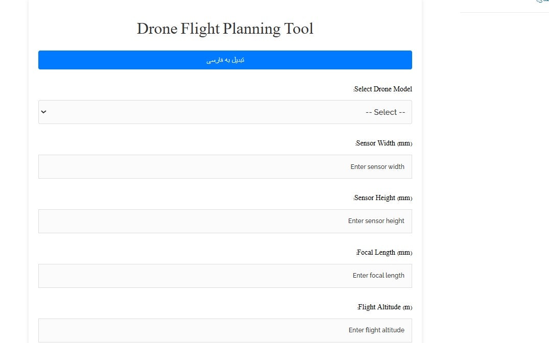
A web-based tool that lets users calculate GSD for any UAV type without login, providing instant results via parameters like sensor size, flight height, and focal length.
Customers
Surveyors, drone operators, and GIS professionals involved in aerial mapping, agriculture, or construction projects requiring precise geospatial data.
Unique Features
Supports all UAV types, no login required, and instant calculations with a responsive interface.
User Comments
Saves time on mission planning
Eliminates manual formula errors
Works with any drone model
Free and accessible instantly
Critical for accurate surveys
Traction
Newly launched on ProductHunt, free-to-use tool; no explicit revenue or user stats provided. Website linked to an Iranian surveying company, suggesting existing industry traction.
Market Size
The global drone analytics market is projected to reach $5.59 billion by 2026 (MarketsandMarkets, 2021), driven by UAV adoption in surveying and mapping.