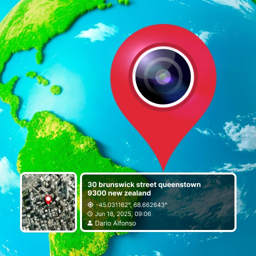
What is GPS Camera with Timestamp?
Now you can set location, date-time and weather, compass in your captured images by gps camera location with latitude and longitude. It’s an easy and reliable tool for many businesses nowadays like Marine, Architecture, Farming, Military, Civil Engineering etc
Problem
Users struggle to manually add location, date-time, weather, and compass details to their captured images, leading to time-consuming and unreliable image information.
Solution
Mobile app that allows users to embed GPS location, date-time, weather, and compass details directly into their captured images, providing an easy and reliable solution for businesses like Marine, Architecture, Farming, Military, Civil Engineering, etc.
Core Features: Embedding location, date-time, weather, and compass details into images.
Customers
Professionals in industries such as Marine, Architecture, Farming, Military, and Civil Engineering.
Unique Features
The ability to embed GPS location, date-time, weather, and compass information directly into images, catering to specific industry needs.
User Comments
Easy-to-use tool for adding crucial information to images.
Time-saving solution for businesses that require accurate image details.
Great for professionals working in outdoor or location-specific fields.
Reliable and accurate feature set for accurate image documentation.
Useful for a wide range of industries such as Marine, Architecture, Farming, Military, and Civil Engineering.
Traction
The app has gained popularity with professionals in Marine, Architecture, Farming, Military, Civil Engineering, and other related fields.
Positive user feedback on product functionality and ease of use.
Market Size
Global market for location-based image tools is growing rapidly, driven by increased demand for accurate image documentation across industries like Marine, Architecture, Farming, Military, and Civil Engineering.


